Project information
- Category: ai architecture + urbanscapes
- instructors: guvenc ozel | benjamin ennemoser
- contributors: dipinti kapoor
- tools: Vgg19, pix2pix, Maya, Rhino, Grasshopper, Unreal Engine, Unity, Twinmotion, Quixel Mixer, Cinema 4D, Houdini, Adobe Creative Suite
from the visionary
“In the world of surveillance capitalism designed to collect and monetize data, digital representations of ourselves and our environments, how do we create useful and engaging methods to understand the impact of our digital behaviors?
Instrumentalizing architecture, the objective of the Deep Urbanism studio is to demystify the inner-workings of the algorithms that hold increasing influence over our decisions, emotions, and sense of self by turning them into media that are comprehensible through our spatial perception.
Computer vision systems coupled with machine learning allow for these emergent systems of control to be deployed.”
~GÜVENÇ ÖZEL
premise
En masse demystification of DATA and inner workings of AI tools, instrumentalizing architecture: bringing legibility & quantification through spatial perception. We will be using the current form of computer vision systems and the databases they create as our arsenal to understand how machines see our world, and critically utilize machine learning to decipher how they interpret what they see.
What's happening in South america?
Speculating an anthropogenic future
Why? Where?
Housing some of the world’s most valuable reserves of commercially valuable elements for batteries, the amazon faces extreme deforestation due to the demands of the battery production industry.
co2 sequences
These mining operations clear hectares of Amazonian rainforest. the rampant deforestation has reduced the forest cover over 11,000 square km in the last 2 years. That is roughly 8 times the size of Los Angeles .
Mineral mining and ore-processing create sprawling landscapes in addition to production facilities and supporting industries, required for the battery industry, threatening ecologies crucial for the planet.
proposal
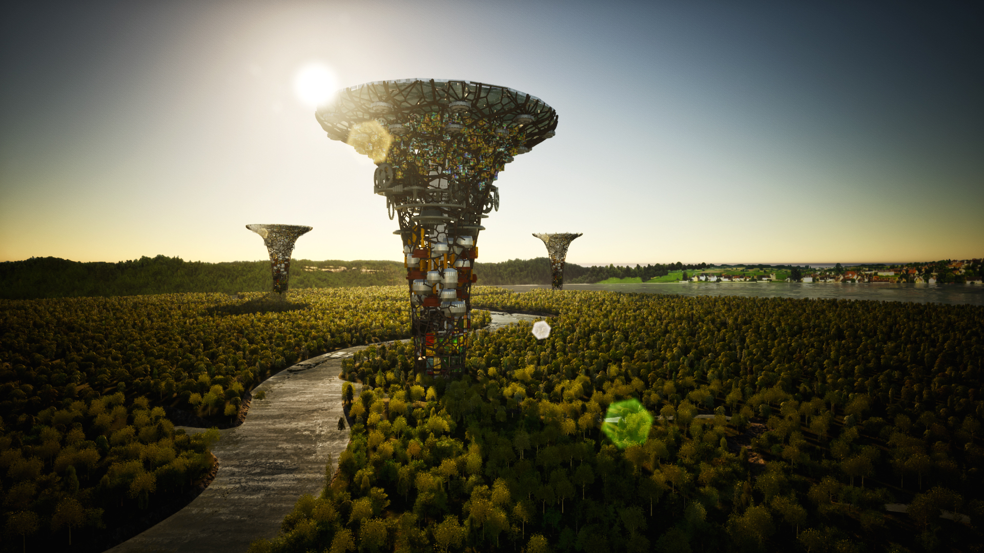
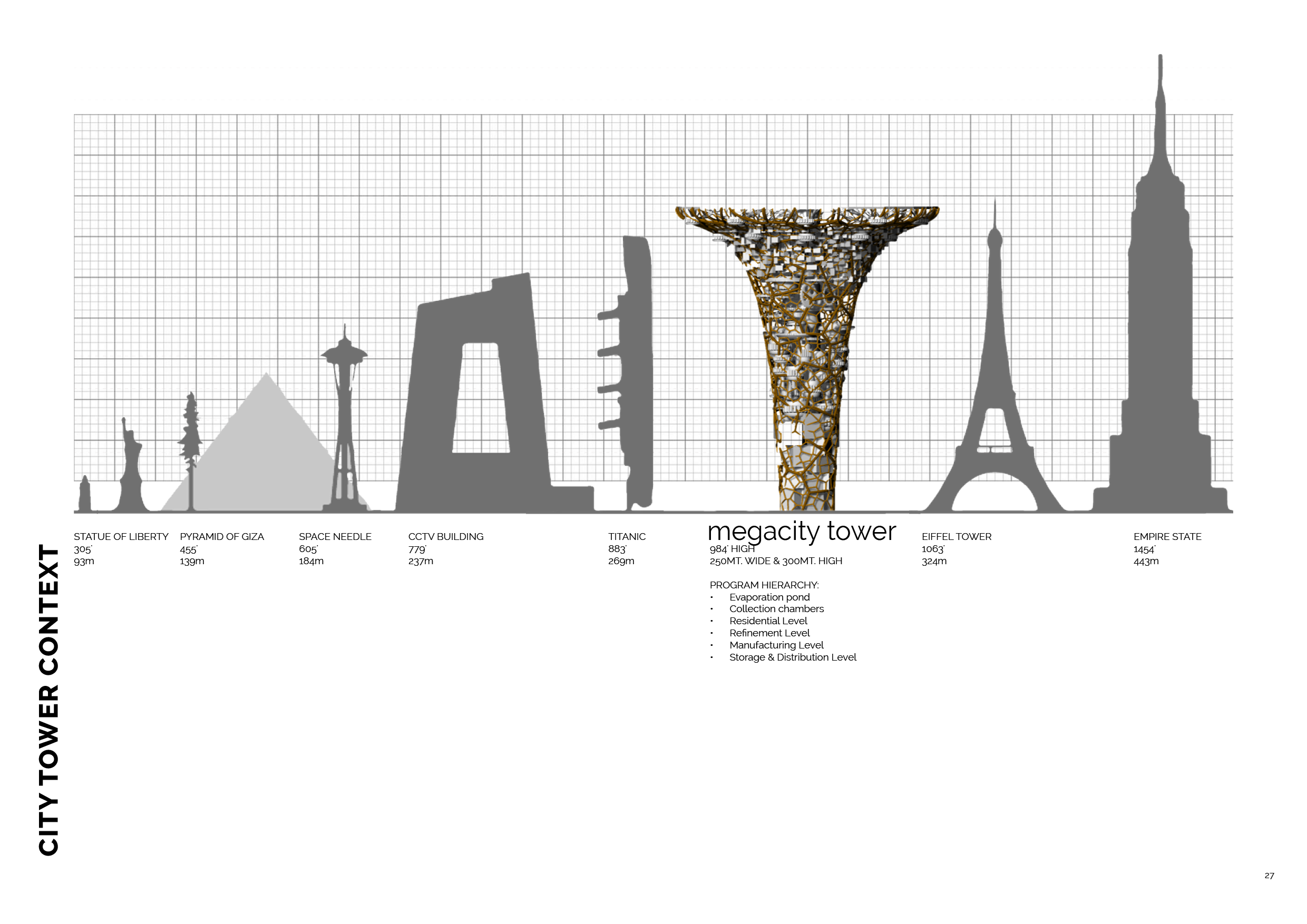
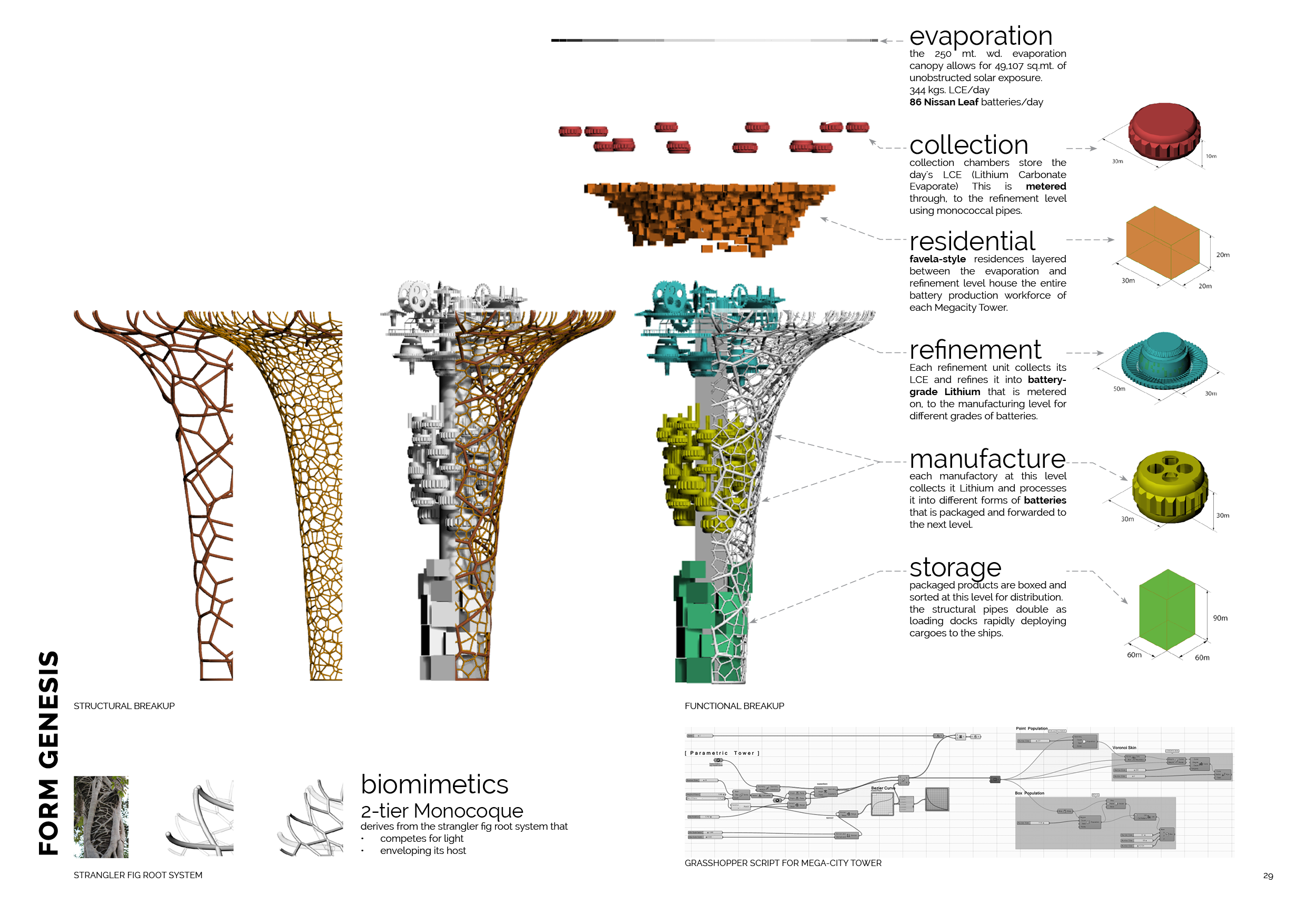
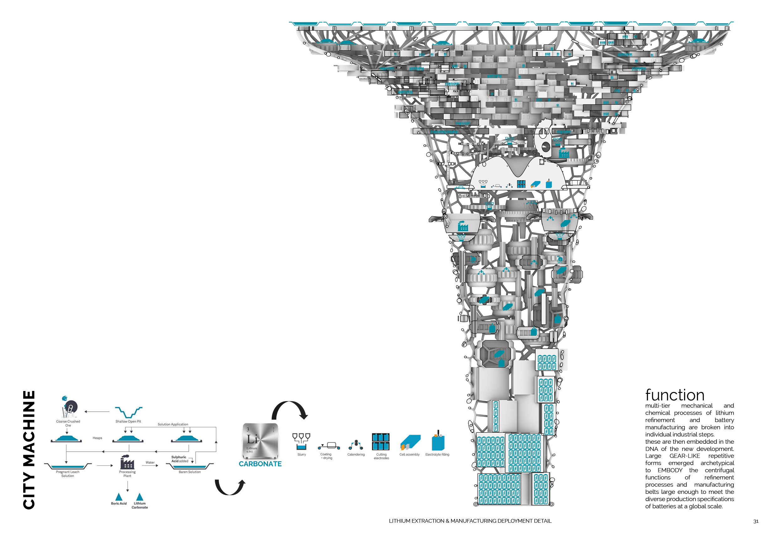
In order to reduce the deforestation and potentially start a process of reforestation, “battery city” proposes the construction of massive architectural megastructures dedicated to the processing and production of batteries as well as housing the populations that are engaged in this profitable economic activity.
site location
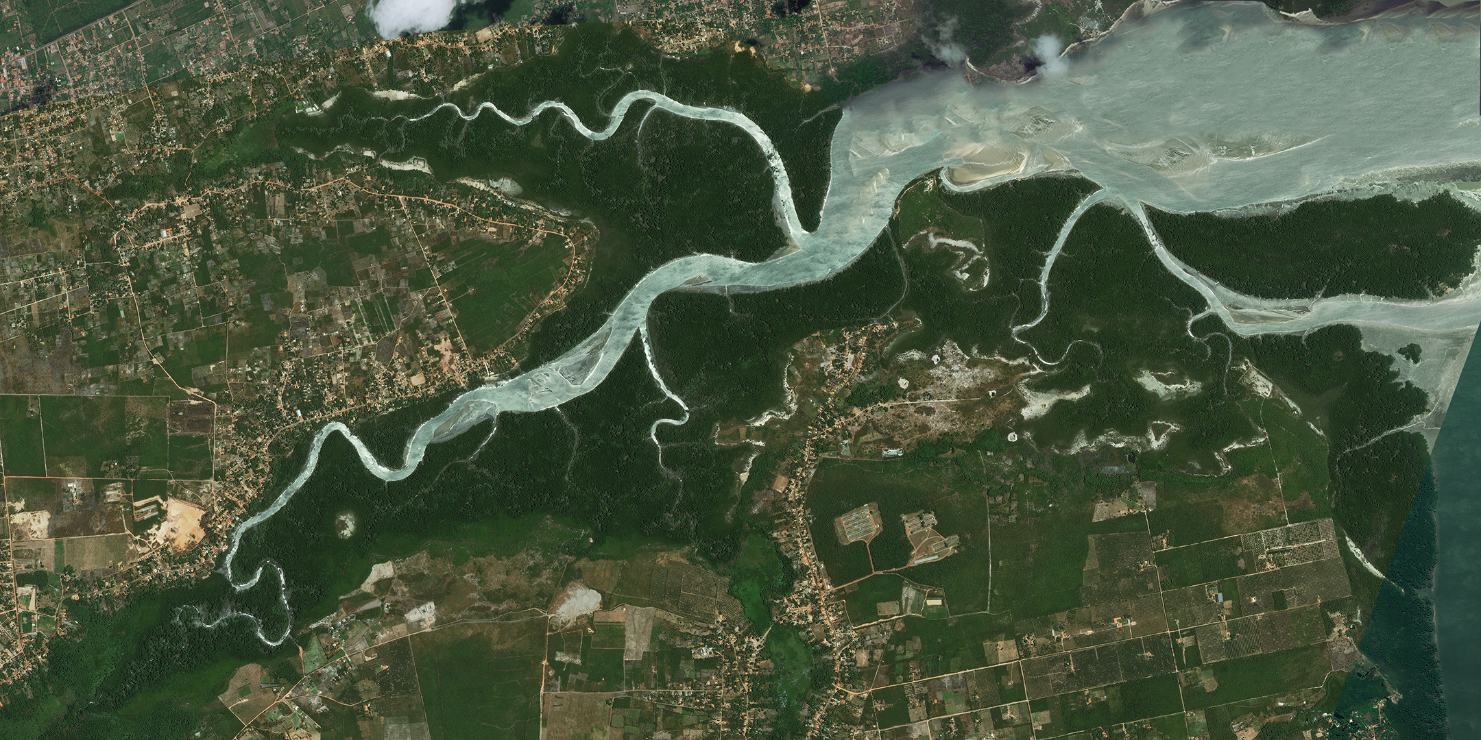
The site, Sao Luis, is located at the edge of the Amazon, with a maritime distribution advantage, being adjacent to the ‘LANDLOCKED’ “lithium triangle” of Argentina, Chile and Bolivia, currently dominating about 90 percent of the lithium production in the world.
2 determining features of Sao Luis:
- The natural, growing river network
- And the daily sun exposure of 6 hours with an annual average of 2313 hours.
scales of production
i. urban speculation
ii. architectural form
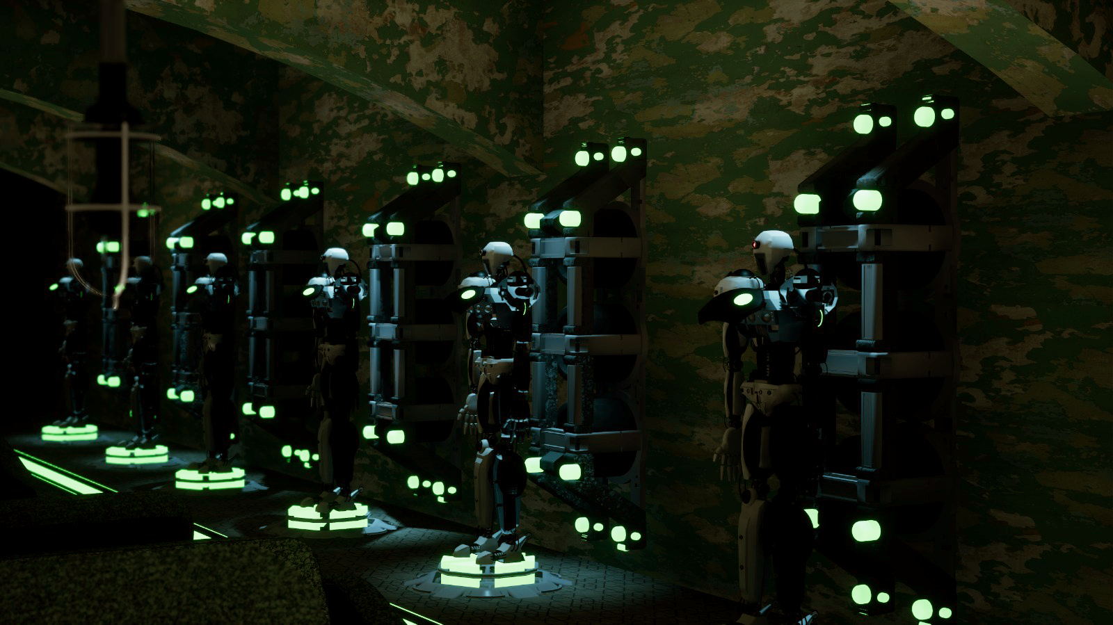
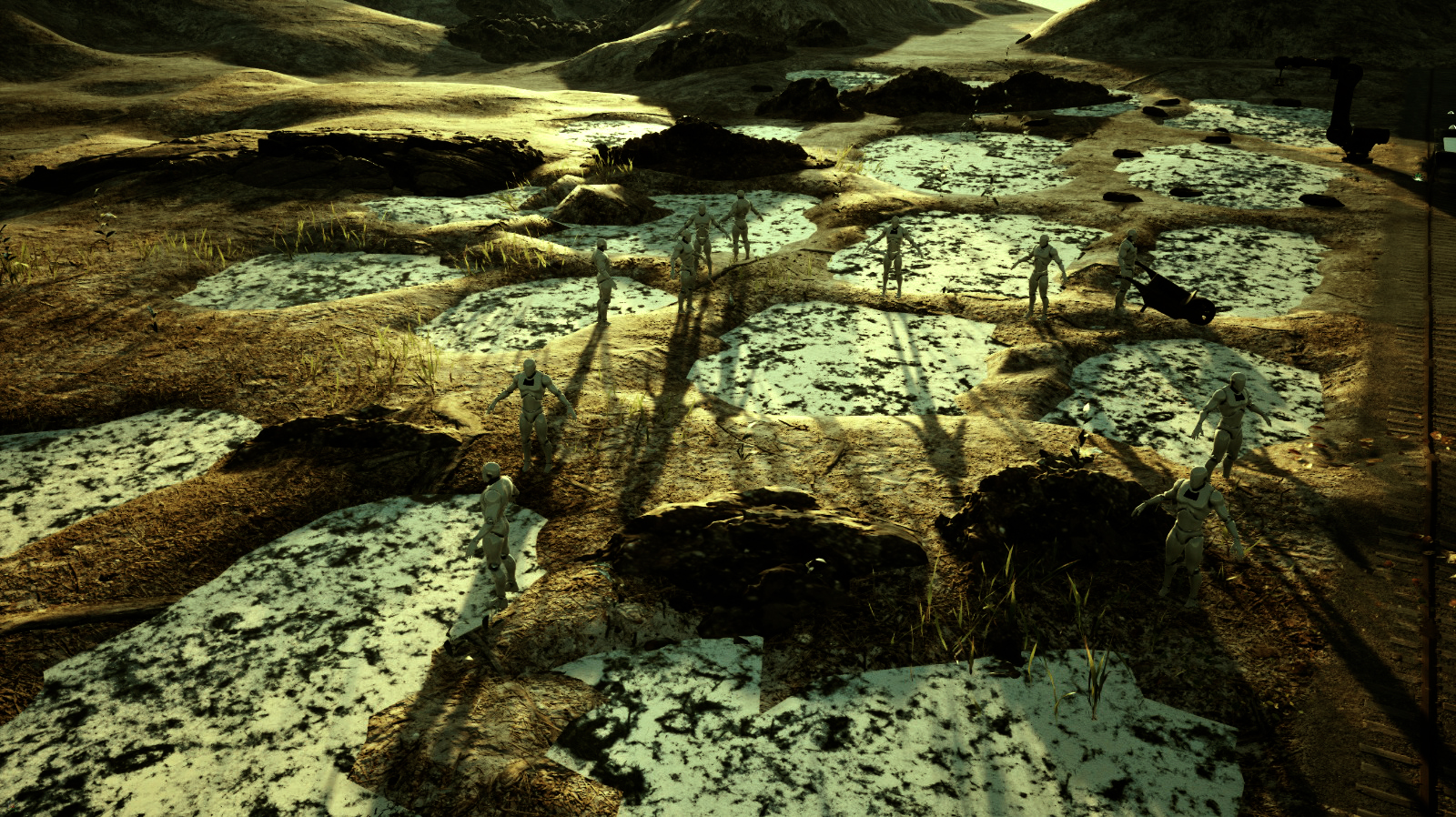
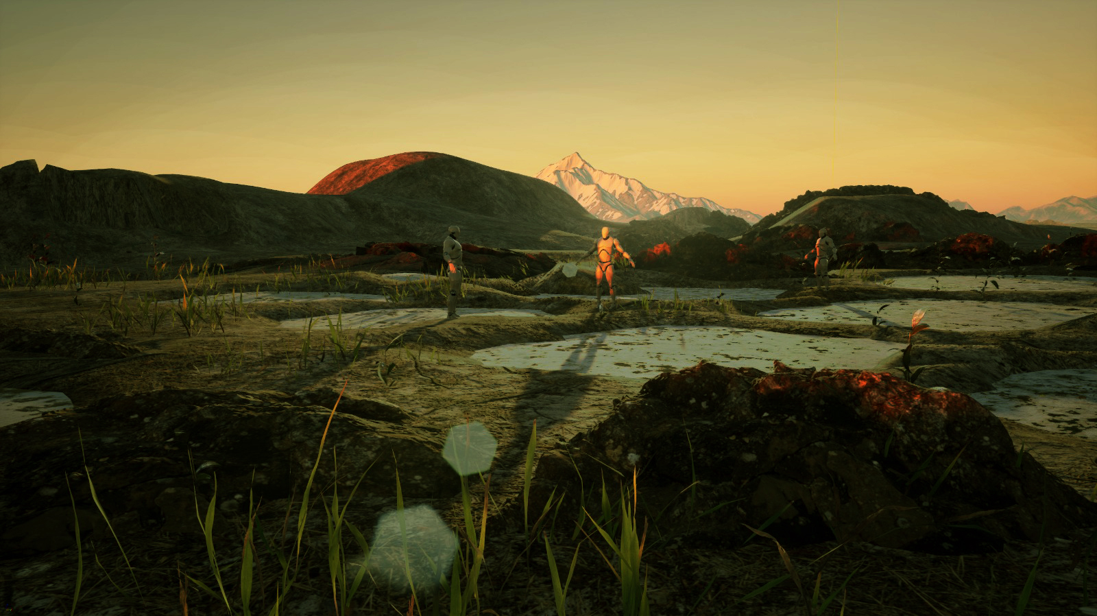
iii. narrative representations
Urban speculation
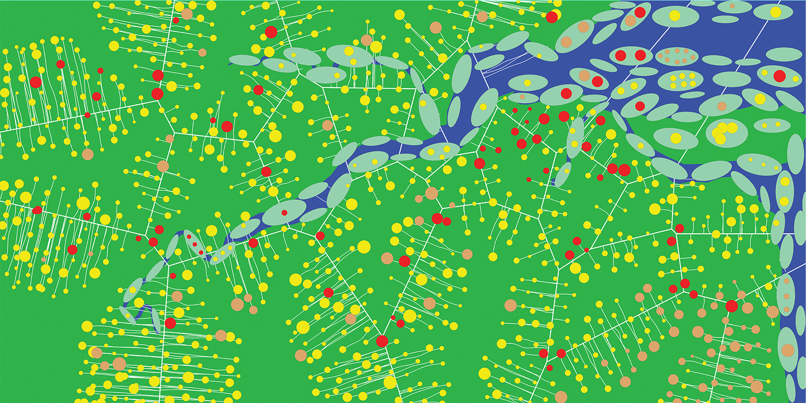
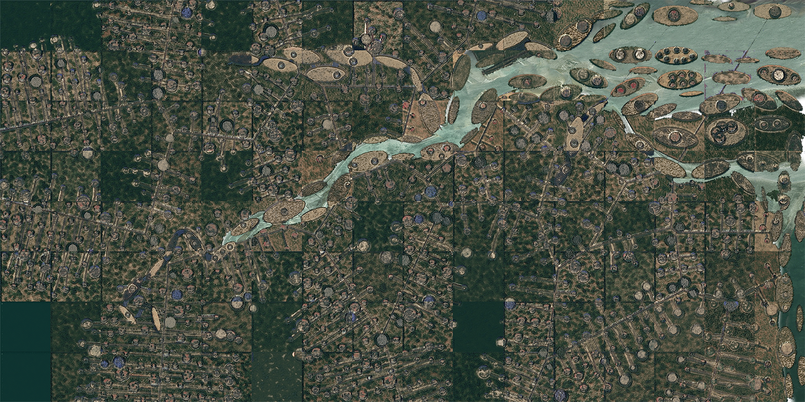
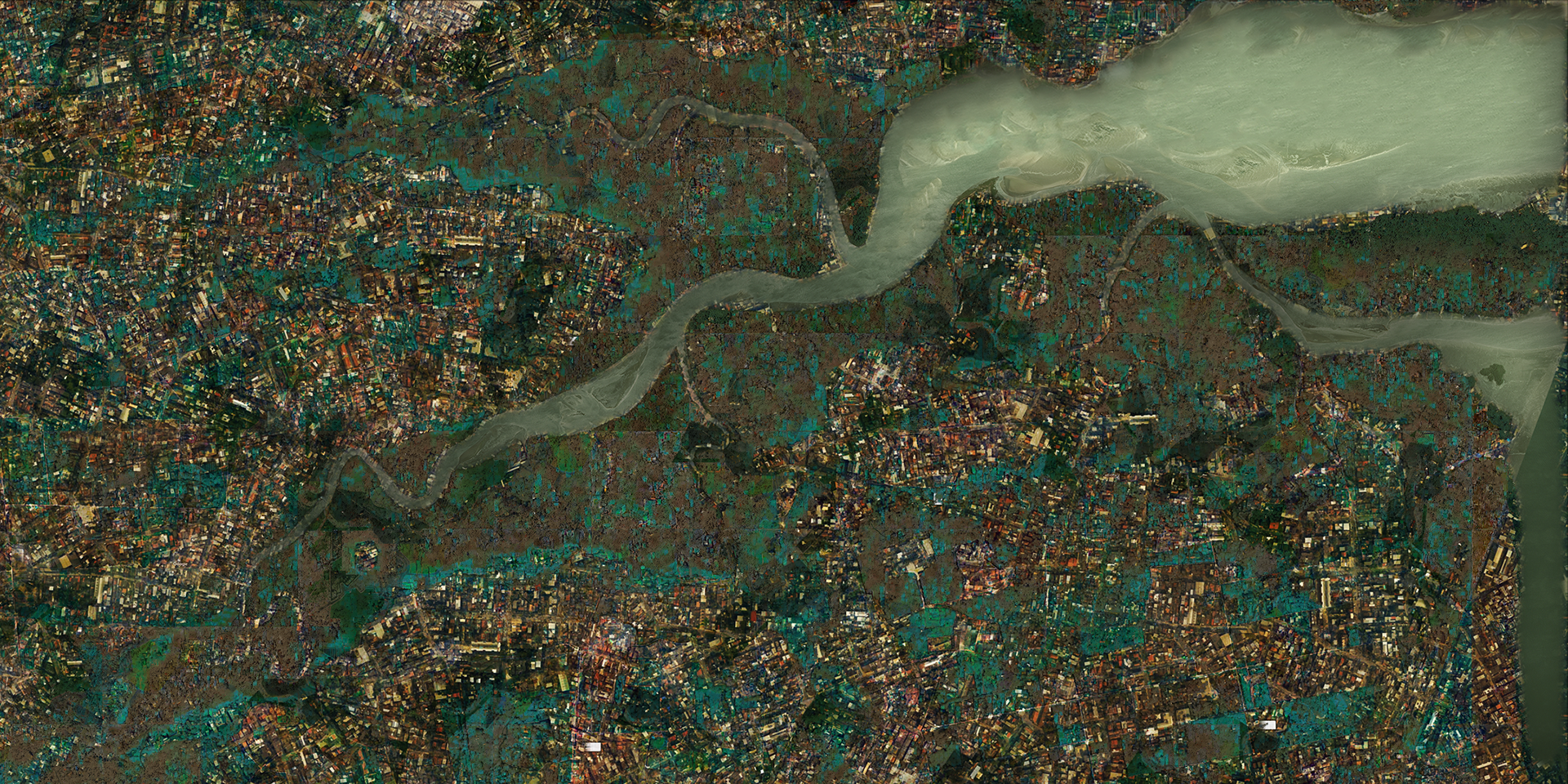
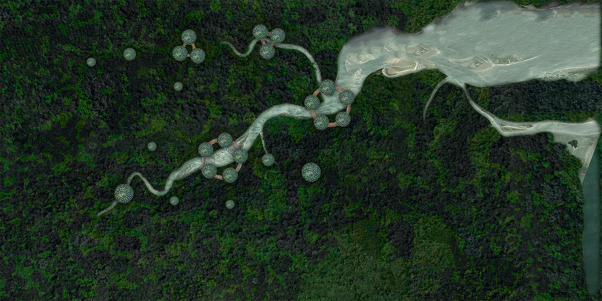
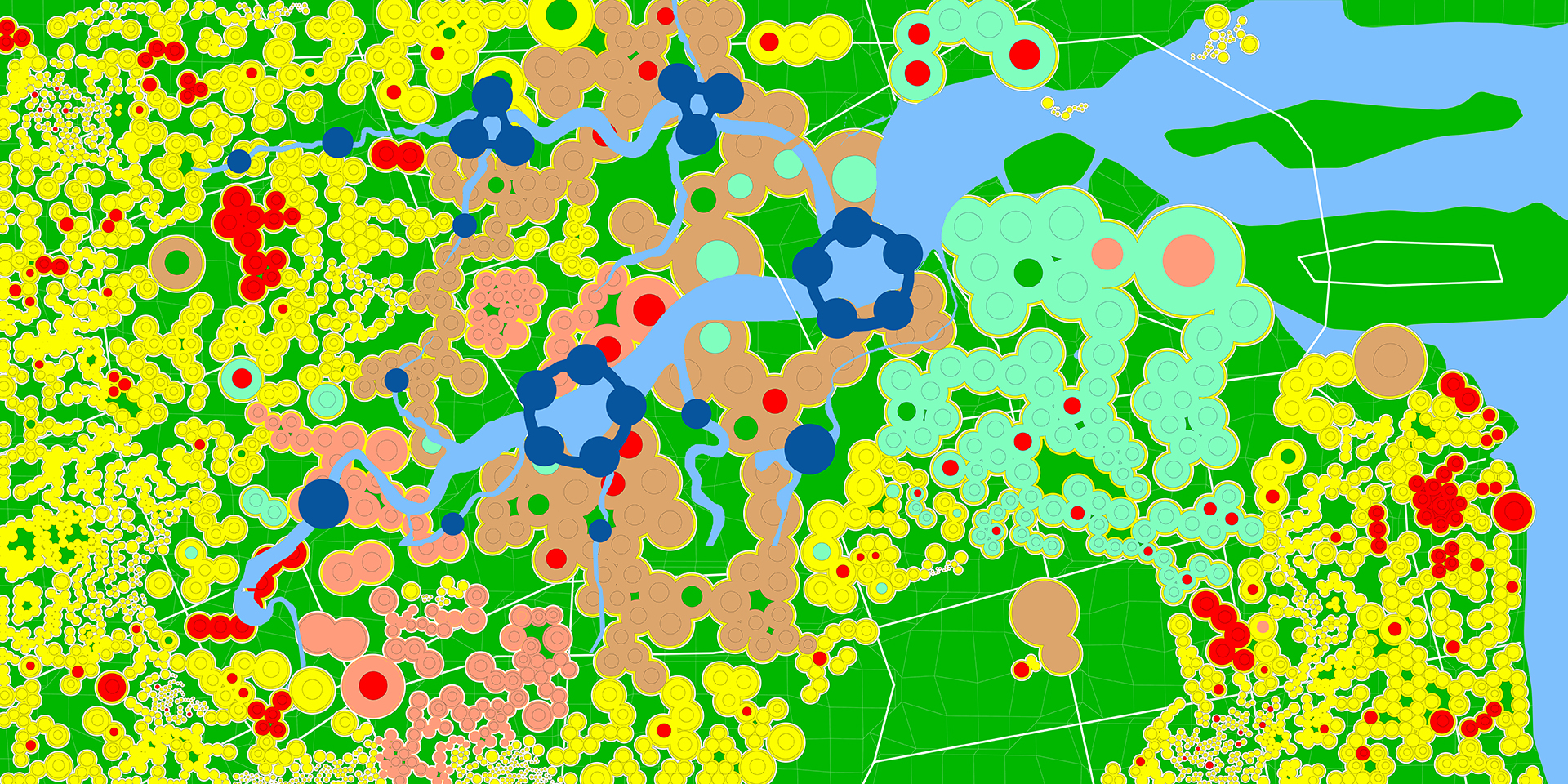
color to satellite map
horizontal sprawl tests: VOLUME DISTRIBUTED-RIVER NETWORK BOUND parametric color map
- color map: grasshopper generated
- satellite map: pix2pix generated
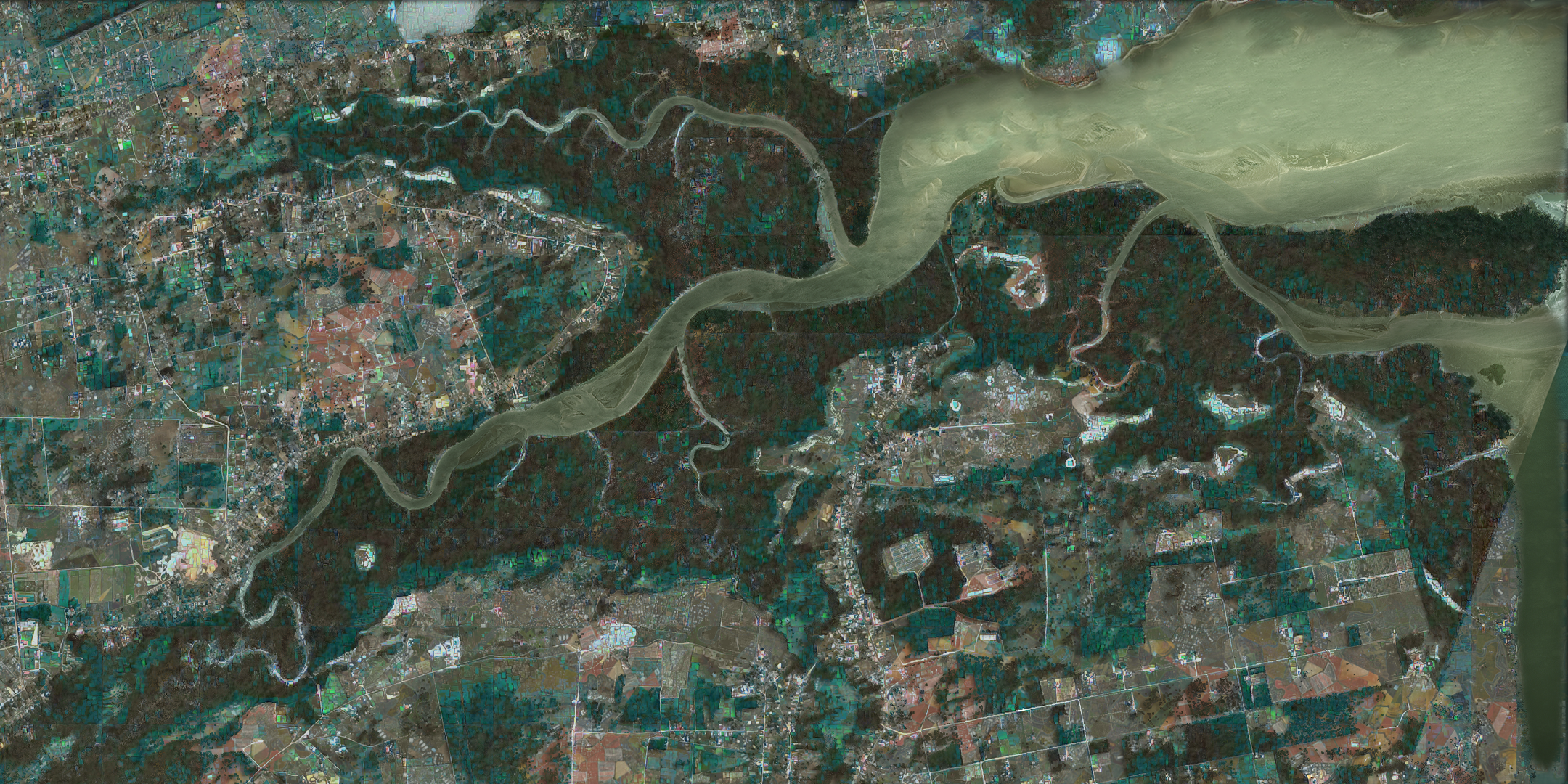
pattern to satellite map
.jpg)
.jpg)
- pattern: brine evaporation map
- satellite map: vgg-19 generated
resulting urbicide | environment simulations
proposal
vertical city sprawl
- color map: grasshopper generated
- satellite map: pix2pix generated


